Roidha Bayis located approximately 7 kilometers northwestof the city of Sarandaand about 5 kilometers southeastof Cape Qefali.
Pogajeta Strait
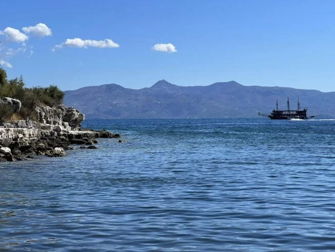
The Pogajeta Straitis formed between Cape Qefalito the southwest and “Hunda e Dosës” Capeto the northeast. The coastline extends 3 cablesin a southeast direction, with the entrance width from the sea being 1 cable, narrowing to just 38 metersat its narrowest point.
The southern and western shoresof the strait are rocky and covered with evergreen shrubs, while the southeastern shoreis lowland, forming the end of a valley. This causes the waters near this part of the coast to be shallower.
Roidha Strait
The strait is deep and completely free of underwater hazards. The 5-meter depth contour (isobath)lies 8–10 metersfrom the southern and northern shorelines and about 80 metersfrom the southeastern coast. In the middle of the strait, at about 75 meters from the north and south shores, the depth reaches up to 20 meters.
The strait is protected from southern, eastern, and partially northern winds, but it is exposed to western and especially northwestern winds. Small boatscan enter the strait, but caution is required, as they must dock directly on the rocky shore.